Stone-Ideas.com


26 new cultural and natural properties were inscribed on Unsesco’s World Heritage List during the 47th session of the committee held from July 06 to 16, 2025, in Paris, France. 24 are cultural, 4 nature, and one mixed.
Once again this year, the spotlight was on African heritage, with the inclusion of four new sites from the continent and the removal of three others from the List of World Heritage in Danger.
More than this, the committee approved the extension of two existing sites on the List, enabling the creation of transboundary natural parks.
This brings the total number of sites on the list to 1248, in 170 countries.
In addition to international recognition, these inscriptions recognize the central role played by local communities in safeguarding and promoting these sites, while protecting the living and spiritual heritage intrinsically linked to them.
About Unesco: With 194 Member States, the United Nations Educational, Scientific and Cultural Organization contributes to peace and security by leading multilateral cooperation on education, science, culture, communication and information. Headquartered in Paris, it has offices in 54 countries and employs over 2300 people. The organization oversees more than 2000 sites on various heritage lists, Biosphere Reserves and Global Geoparks; networks of Creative, Learning, Inclusive and Sustainable Cities; and over 13 000 associated schools, university chairs, training and research institutions, with a global network of 200 National Commissions. Its Director-General is Audrey Azoulay, former French minister for culture and communication, stemming from a Moroccan family.
We show photos of some of the newly listed with obvious references to stone.
Source: Unesco
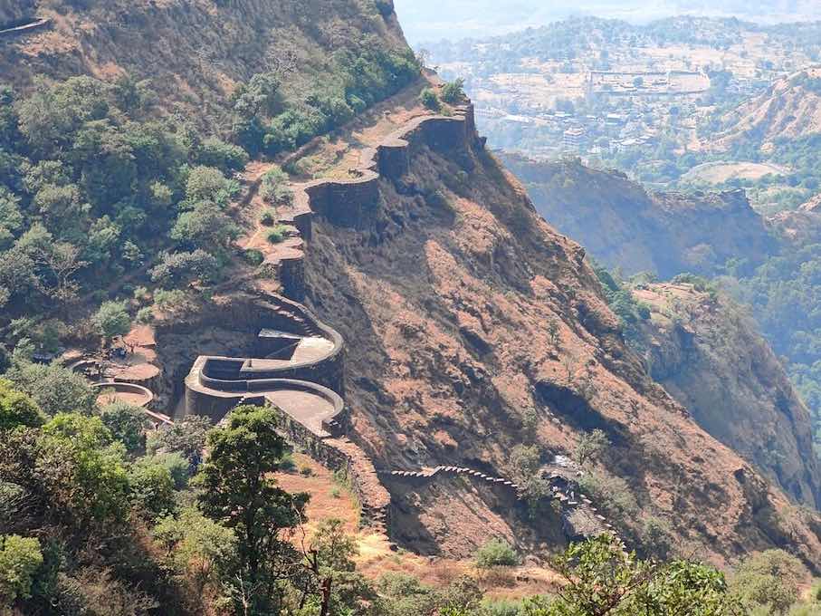
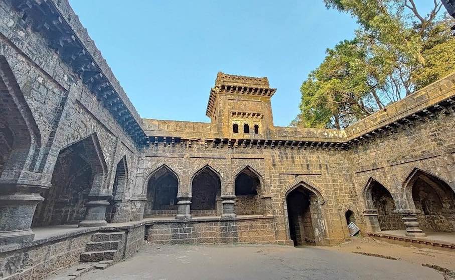 Maratha Military Landscapes of India: The property includes twelve major fortifications, mostly in Maharashtra State, with one in Tamil Nadu, built, adapted, or expanded by the Marathas between the late 17th and early 19th centuries. Strategically located on coastal and mountainous terrain, they formed a complex defence. The fortifications network played a key role in the Marathas’ rise as a major political and military force.
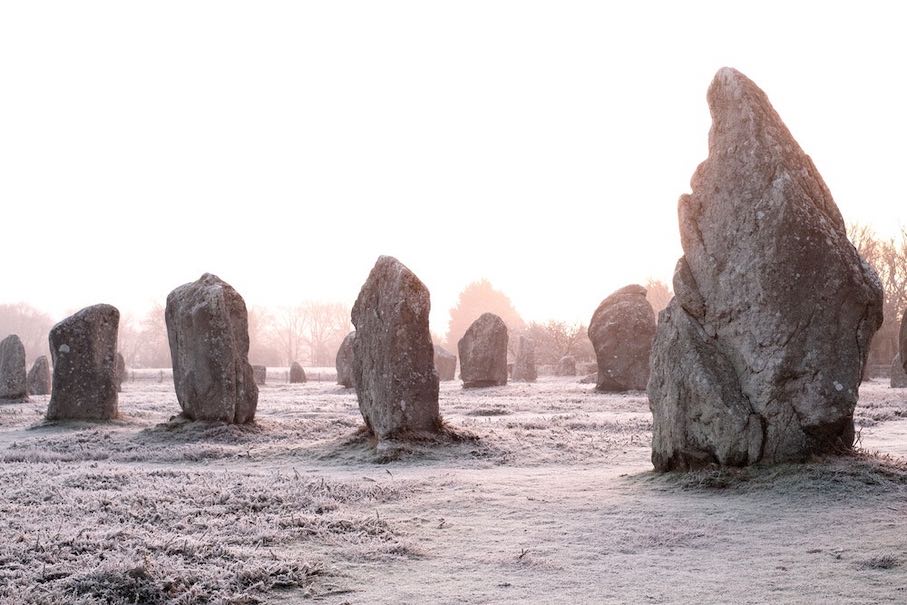
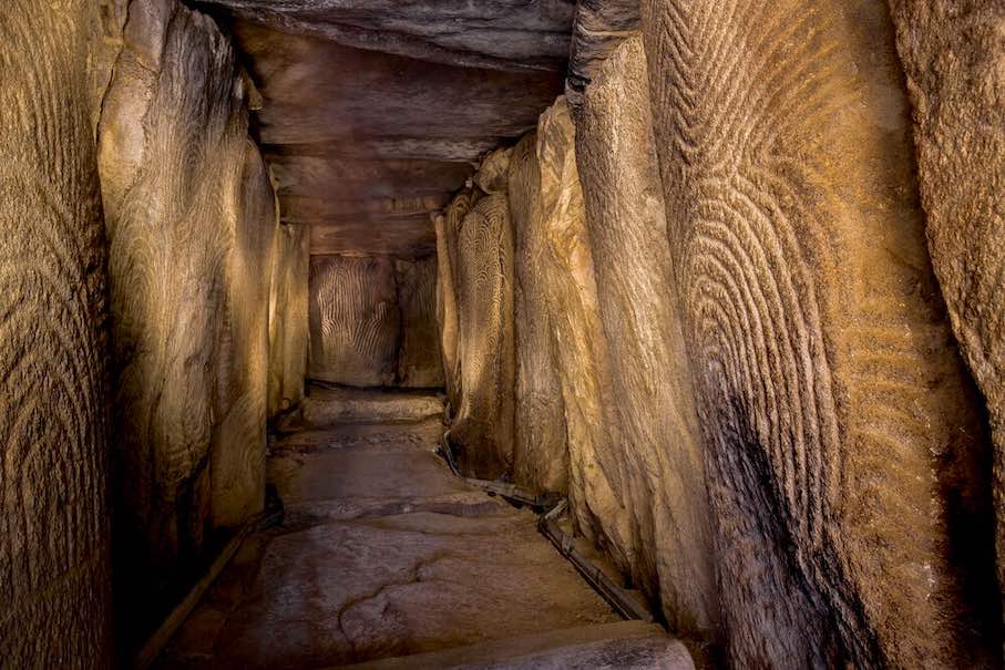 Megaliths of Carnac and of the shores of Morbihan, France: This property in Brittany, France, features a dense concentration of megalithic structures built during the Neolithic period (c. 5000–2300 BCE), carefully aligned with the area’s unique geomorphology. These monumental stone constructions reflect a sophisticated understanding of the environment. Rich engravings and associated artifacts further illustrate the cultural complexity of the societies that inhabited this part of the European Atlantic coast.
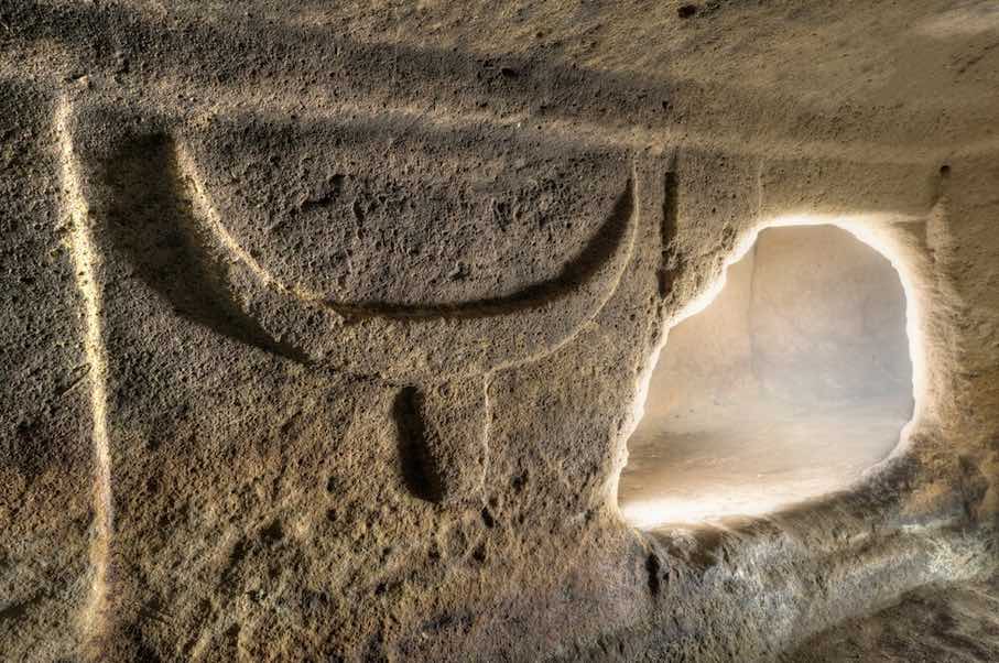
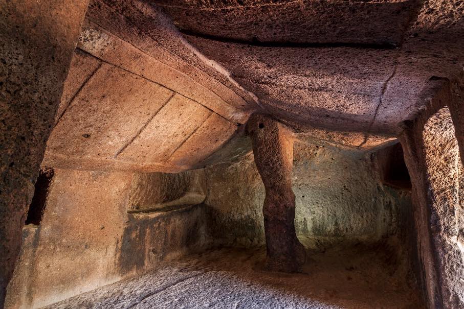 The domus de janas, Funerary Tradition in the Prehistory of Sardinia, Italy: This property is an ensemble of hypogean burials and necropolises located in Sardinia, created between the 5th and 3rd millennia BCE. The domus de janas, locally known as “fairy houses,” are rock-cut tombs featuring complex layouts, symbolic decorations, and figurative motifs that testify to the transformation of the relationship between the living and the dead in a society transitioning toward more complex forms of social organization.
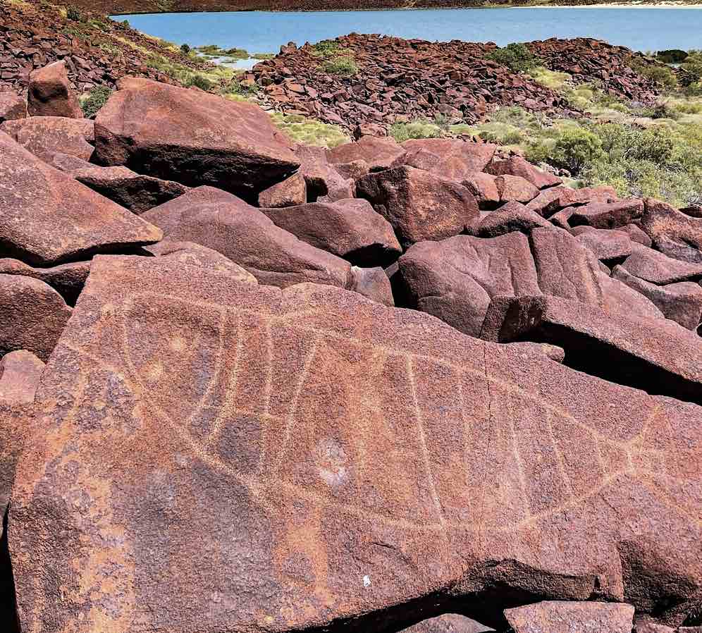
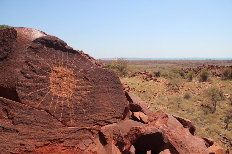 Murujuga Cultural Landscape, Australia: Murujuga is a landscape of ancient rocks located in northwest Australia, renowned for its dense concentration of petroglyphs, featuring unique motifs that display artistic and technical mastery. It is shaped by the Lore- rules and narratives that were put in place to create the Country – and the enduring presence of the Ngarda-Ngarli, Traditional Owners and Custodians of the site. The property holds profound cultural and spiritual significance, reflecting over 50,000 years of continuous care and use.
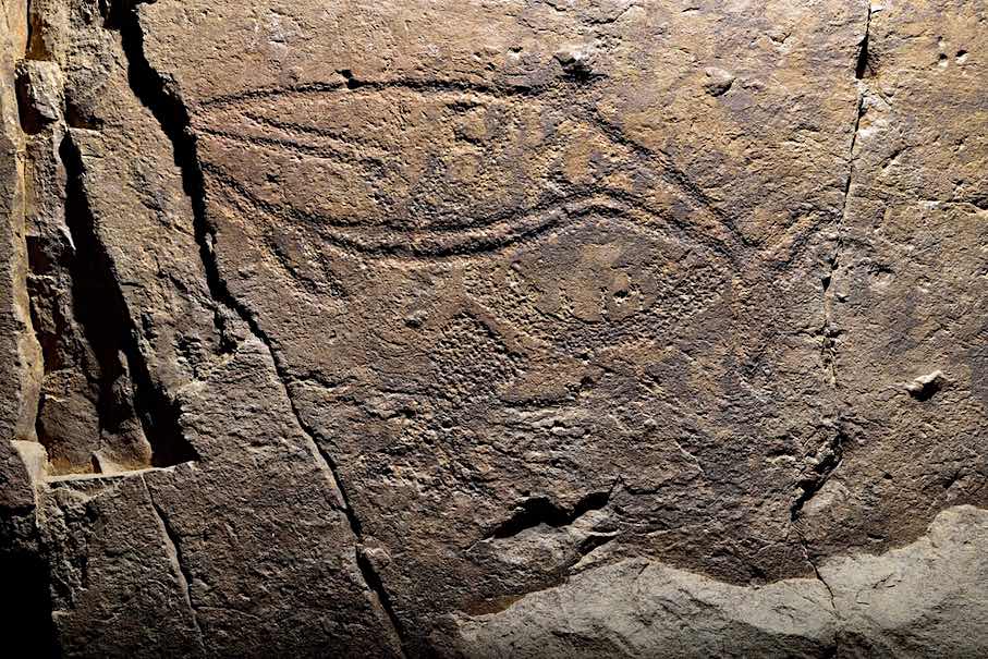
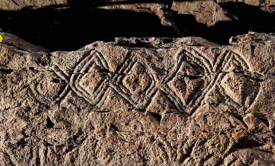 Petroglyphs along the Bangucheon Stream, Republic of Korea: The property is located along the Bangucheon Stream on the Republic of Korea’s southeastern coast, spanning about three kilometers through a landscape of stratified cliffs. The rock-art panels contain dense concentrations of engravings created by successive generations from 5,000 BCE to the 9th century CE. They were carved using stone and metal tools.
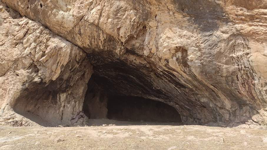
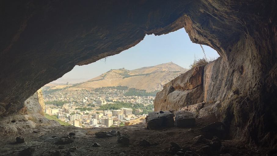 Prehistoric Sites of the Khorramabad Valley, Iran: These prehistoric sites include five caves and one rock shelter within a narrow ecological corridor rich in water, flora, and fauna. Human occupation dates back 63,000 years. The sites reveal Mousterian and Baradostian cultures. Artifacts such as decorative objects and advanced stone tools highlight the cognitive and technological development of early humans in the Zagros Mountains. The area remains underexplored, holding significant potential for future archaeological discoveries.
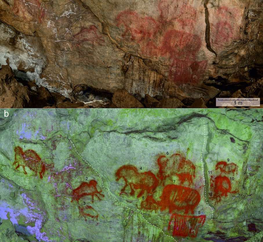
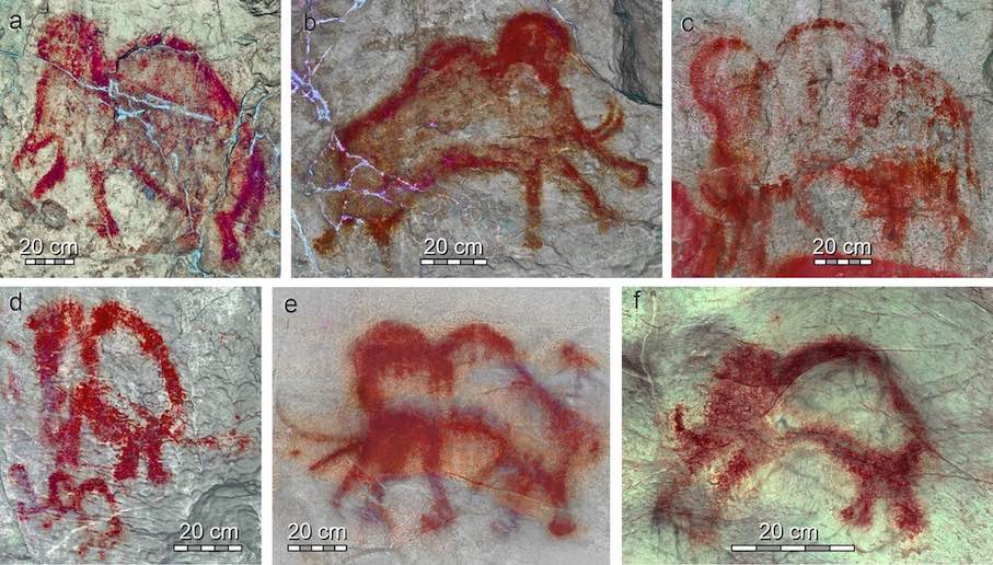 Rock Paintings of Shulgan-Tash Cave, Russia: Located in the Southern Ural Mountains of Bashkortostan, the Shulgan-Tash Cave contains extensive Late Palaeolithic rock art. Set within a karst massif near the Belaya and Shulgan Rivers, it features large halls and deep chambers across two levels. The paintings depict steppe fauna – mammoths, woolly rhinoceroses, bison, horses, and a Bactrian camel – alongside anthropomorphic figures, abstract signs, and geometric motifs like the “Kapova trapezoids.”
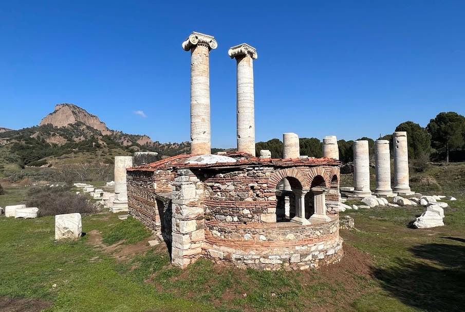
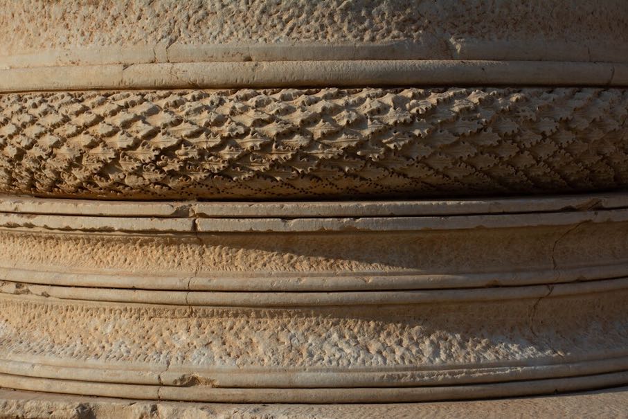 Sardis and the Lydian Tumuli of Bin Tepe, Turkey: Sardis was the capital of the Lydians, a powerful Iron Age civilization (8th-6th centuries BCE) known for its wealth and early coinage production. The city had a unique urban structure with fortified walls, terraces, and distinct zones, including settlements, sanctuaries, and cemeteries. The cemetery of Bin Tepe features some of the largest tumulus tombs in the world.
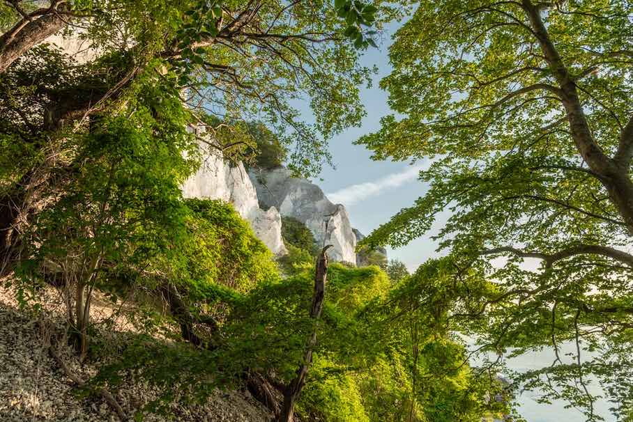
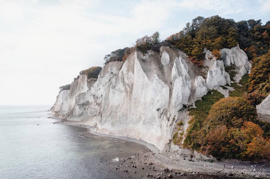 Møns Klingt, Denmark: Featuring a dramatic glaciotectonic landscape shaped by Pleistocene glaciers, the site includes chalk cliffs, rolling hills, kame and kettle topography, and outwash plains. The area supports rare habitats like calcareous grasslands and beech forests, hosting diverse flora and fauna, including 18 species of orchid, and the almost-threatened Large Blue butterfly. Erosion continuously exposes fossils and reshapes the cliffs.
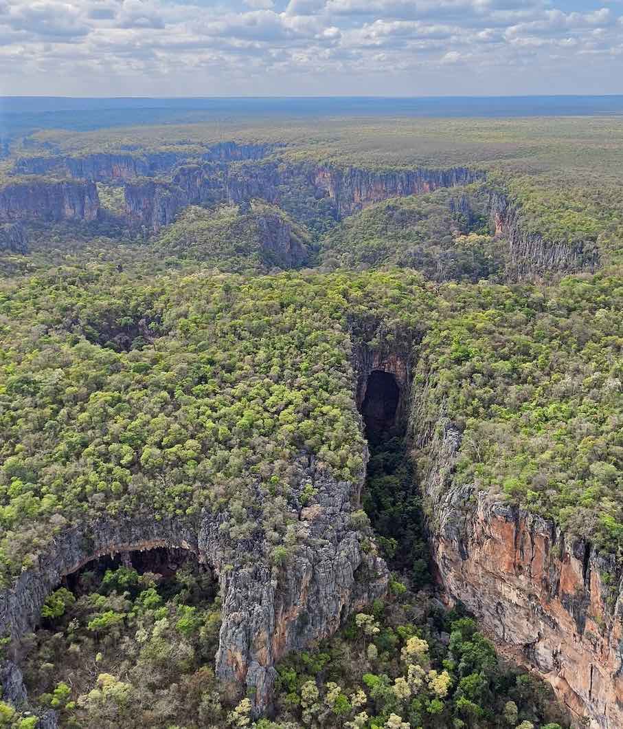
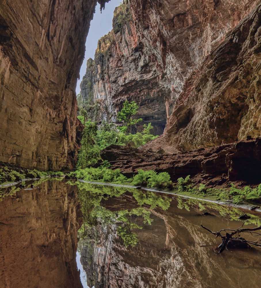 Peruaçu River Canyon, Brazil: Located in northern Minas Gerais and featuring dramatic karst landscapes, vast caves, and rich biodiversity, the park’s horizontal cave systems, formed in carbonate rock, reveal striking speleothems, collapsed dolines, limestone arches, and underground rivers. The park lies at the intersection of the Cerrado, Caatinga, and Atlantic Forest biomes, supporting over 2,000 plant and animal species, including many threatened ones.